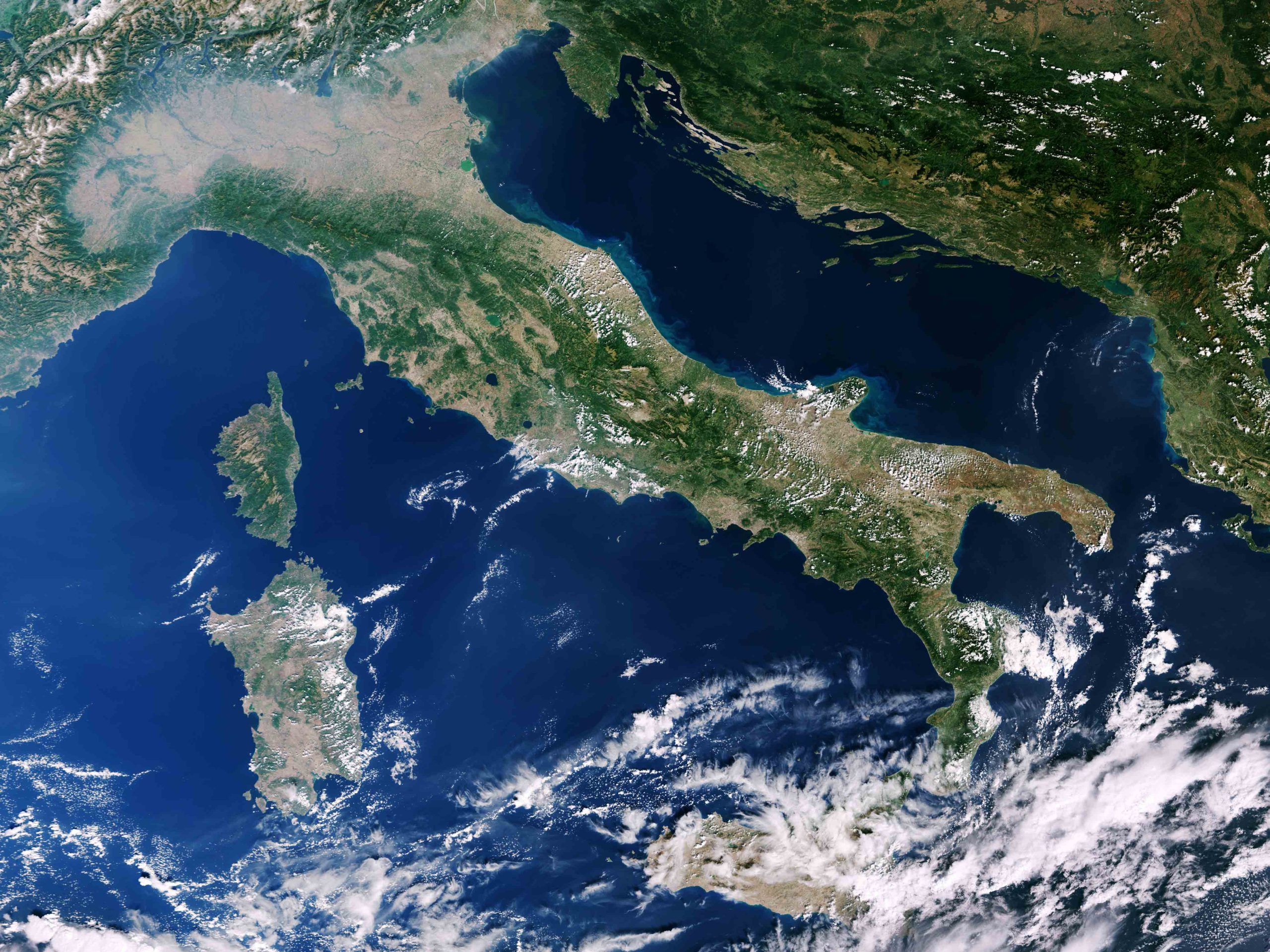
Providing an integrated representation of the main tectonic units and geological structures present in the Italian seas—from abyssal depths to submerged ridges—offering an updated and comprehensive overview of the geological framework of underwater areas: this is the goal of the new Structural Map of the Italian Seas, now available online. The map is a fundamental tool for understanding the geological structures that characterize the seabed of our country.
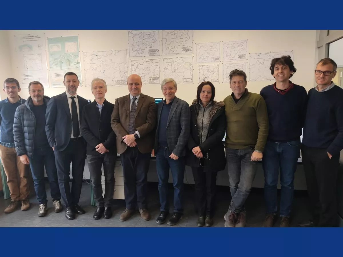
The map was produced by the Department for the Geological Survey of Italy of the Italian Institute for Environmental Protection and Research (ISPRA), in collaboration with the Institute of Marine Sciences of the National Research Council (CNR-ISMAR), the National Institute of Geophysics and Volcanology (INGV), OGS, and the Universities of Genoa, Palermo, Roma Tre, and Trieste. It is the result of years of joint research carried out by public research institutions and Italian universities.
More news